In short: La Palma is the greenest and steepest of the Canary Islands and one of the best hiking islands in Europe. The big hikes lead into the Caldera de Taburiente, along the volcanic ridge in the south and through the laurel forest of Los Tilos. Beaches are secondary here, good shoes are a must.
At a glance
- Must-sees: Caldera de Taburiente, Ruta de los Volcanes, Roque de los Muchachos
- Time needed: 7 to 10 days for several big hikes
- Getting there: flight or ferry, from Tenerife 150 minutes according to Fred. Olsen (as of October 2026)
- Getting around: rental car, taxi or bus for one-way hikes
- Entry: hiking is free, some access roads may require a reservation
- Best time: all year round, spring and autumn are most pleasant
Which hikes are the best?
The island is shaped like a wedge: the huge crater in the north, a ridge of young volcanoes in the south. That gives you the five classics.
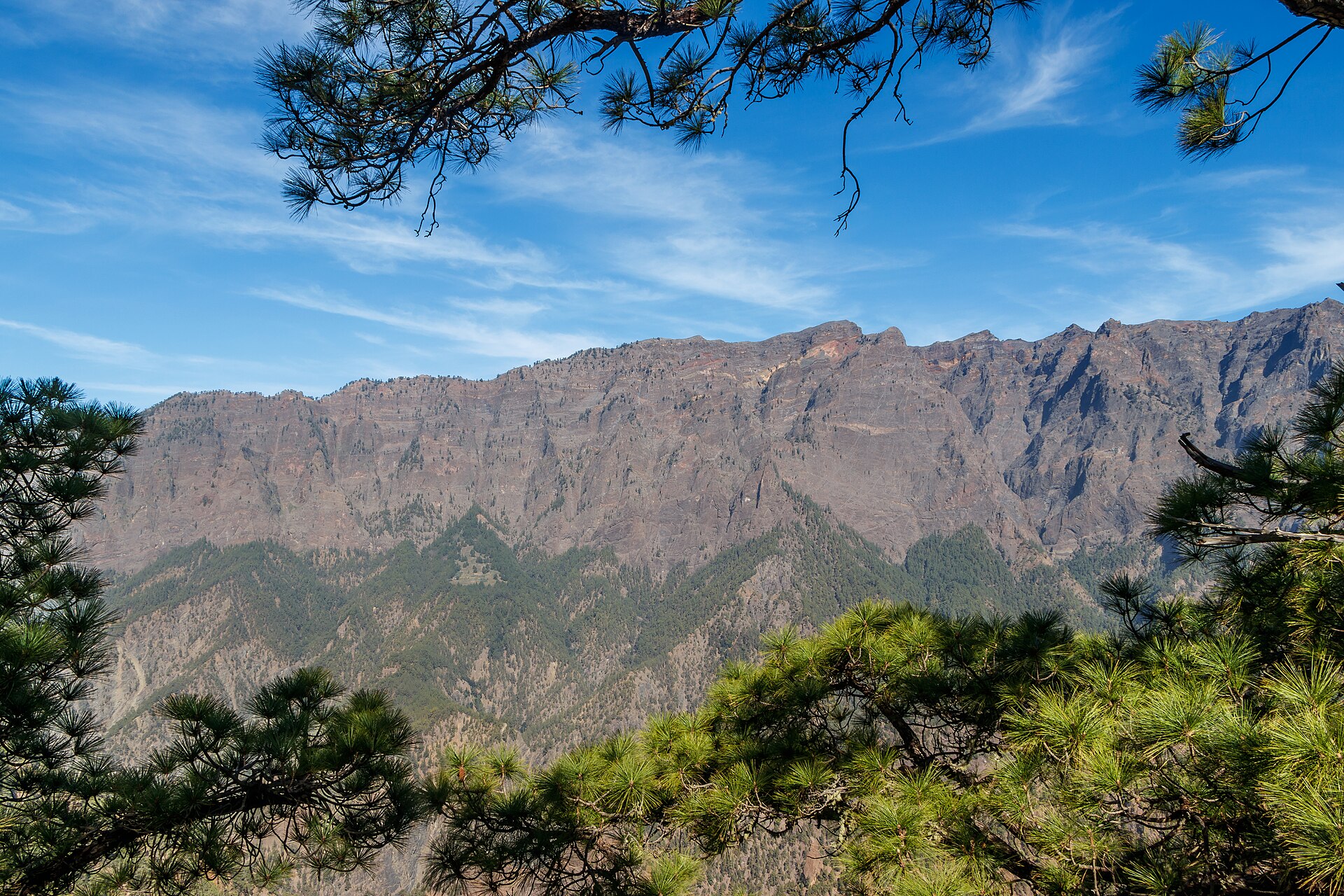
- Caldera de Taburiente: a national park in an enormous erosion crater. The classic route descends from Los Brecitos into the basin and leads out through the Barranco de las Angustias gorge.
- Ruta de los Volcanes: a ridge hike from the Refugio del Pilar over the volcanic cones to Fuencaliente. A full day’s hike with no water source.
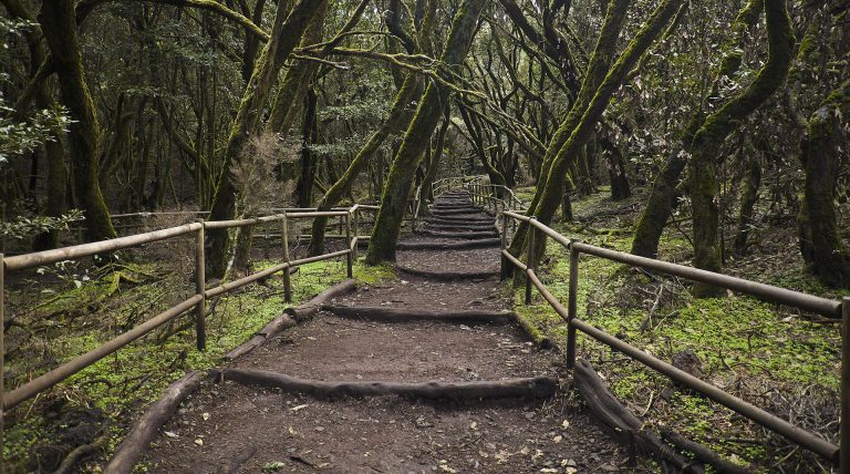
- Los Tilos: a laurel forest in the northeast with a waterfall and shady paths.
- Marcos y Cordero: a path along a water channel through several narrow tunnels to the springs. A head torch and rain jacket are essential, it drips inside the tunnels.
- Roque de los Muchachos: the highest point of the island at around 2,400 m, with the domes of the observatory. Reachable by car, short paths along the crater rim lead to viewpoints high above the clouds.
What can you see at the Tajogaite volcano today?
On 19 September 2021 a new volcano erupted in the west of the island, and it only came to rest on 13 December 2021. Since 2023 it has officially been called Volcán de Tajogaite. The lava buried entire neighbourhoods and roads and created new land on the coast. From the roads and viewpoints in the Aridane Valley you get a good view of the cone and the black lava flows.
What is freely accessible in the area right next to the volcano and what is only possible with a guide has changed several times since the eruption. Ask at the tourist information office or check the Visit La Palma website.
How do you get to La Palma and to the trailheads?
La Palma has its own airport on the east coast near Santa Cruz de La Palma. Binter flies from the neighbouring islands, and there are also ferries from Tenerife. Routes covering several islands are in Island hopping.
- Rental car: almost indispensable. The roads are good but very winding, and there is a mountain range between the east and west sides.
- One-way hikes: The Caldera and the volcano route do not end where they start. For the Caldera, shared taxis run from the car park in the gorge up to Los Brecitos.
- La Cumbrecita: The car park at this viewpoint in the Caldera is small. Check with the national park administration beforehand whether you need to reserve a space.
Why is La Palma so good for stargazing?
The island protects its night sky with its own law against light pollution and is certified as a Starlight Reserve. One of the most important observatories in the northern hemisphere stands on the Roque de los Muchachos. Several operators offer guided evenings with a telescope. Bring warm clothing: above 2,000 m it gets cold at night, even in summer.
What goes in your backpack?
The weather changes quickly, and there are big differences in altitude between the coast and the ridge.
- Ankle-high hiking boots with good tread
- Clothing in layers, windproof and rain jacket
- At least 2 litres of water per person, more on the volcano route
- Sun protection and a hat
- Head torch for tunnel paths
The trails are well marked: white and red for long-distance trails (GR), white and yellow for shorter routes (PR). If you then feel like more hiking islands, you will find ideas in Hiking on Tenerife and the tips for La Gomera.
La Palma also attracts people who want to live somewhere quiet and green for good. How the islands differ as places to live is explained in Where in Spain should you move?
Frequently asked questions
Is La Palma suitable for a beach holiday?
Only to a limited extent. There are a few black beaches, for example near Tazacorte and Puerto Naos, and natural pools such as the Charco Azul. If swimming is your main goal, you are better off on other islands.
How do I get to La Palma?
By plane, depending on the season also directly from Germany, or via Tenerife with an inter-island flight or ferry.
When is the best time for hiking?
Spring and autumn. In summer the ridge paths are hot and without shade, in winter there can be snow on the Roque de los Muchachos.
Can I climb the new volcano?
Not on your own. Ask locally about the current situation.
Sources
- Visit La Palma: official tourism portal
- Booking centre for Spain’s national parks
- Fred. Olsen Express: ferry routes and crossing times
- Binter: flights between the islands
As of: October 2026
As of October 2026. Opening hours, prices and entry rules change. Check them on the official websites before your visit.
Cover image: H. Zell · Wikimedia Commons · CC BY-SA 3.0
Free
The moving checklist as a PDF (in German)
All steps in the right order to tick off. Plus the key tips by email over the next weeks (in German). Free, unsubscribe at any time.